I use a program called expertgps which is available at
www.expertgps.com. There is a 30day trail version. I have been using expert since 1994 and it keeps getting better and better and is well supported. I use the program for all my gps data management.
It costs about $75 buck now. I happen to use the pro version which is now close to $200 because of stuff I do with shape files and other strange files. Expertgps allows me to view all my data on google earth or save my data in Google Earth format (kml) which is filename.klm.
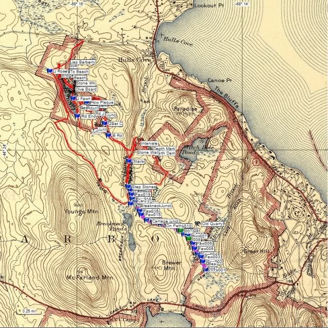
If you can find another waypoint management system supporting KML and KMZ for google you should be able to do the same. I like expert be cause I can view topos maps, areal maps black and white, google maps and it allow me to scan old maps and calibrate them for finding old logging roads and trails from the early 1900's.
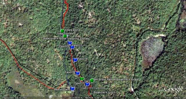
Here is an example of a calibrated 1942 topo I recently used to track down some
old roads and trails. The second is a small portion in google earth


 Topic: GOOGLE EARTH for finding hunting spots (Read 1079 times)

